Each Lucity™ feature layer has extended information from the associated inventory module that may be linked to the layer in ArcMap. To link this additional data to your layer in the map, right click on the map layer in the table of contents and select “Properties”.
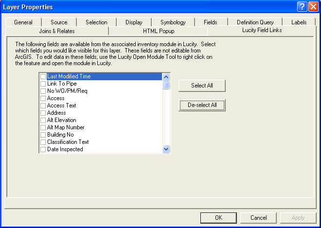
The Lucity Field Links tab allows you to choose which fields you want visible in your layer.
Once you have selected the fields you want visible in your layer, click OK or Apply.
Notes: These additional fields are not editable in ArcMap. The first fields listed are any fields that have customized captions, listed in alphabetical order. The next fields listed are all remaining fields, in alphabetical order.