

Note: For more information about Aliases in the Geodatabase Configuration go here.
Aliases are alternate names for feature classes that provide a unique identity. They are used by the Lucity Webmap, Lucity Viewer, and Lucity Mobile Map Mode to identify which feature classes are linked to Lucity. These Lucity mapping applications check the feature classes loaded into them and check the display names of those feature classes against the Aliases listed in the Geodatabase Configuration.
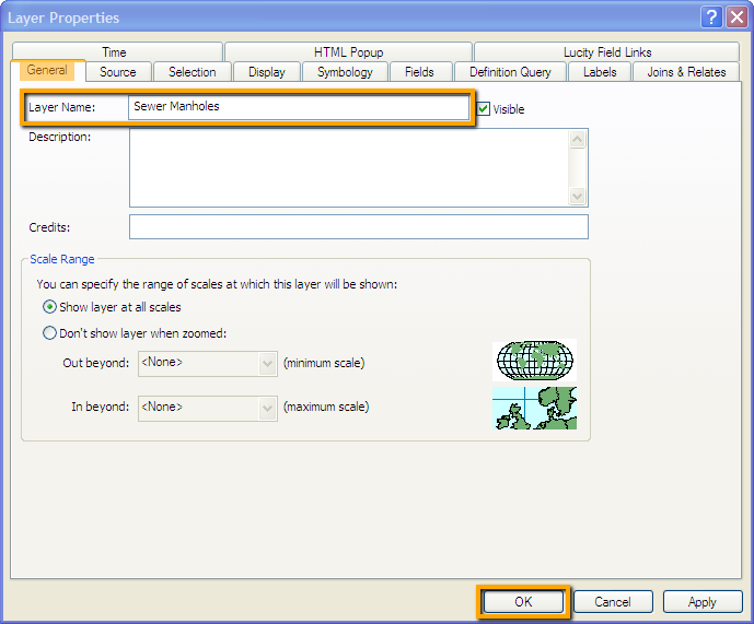
The Alias Import tool in ArcMap is designed to take the feature class aliases that are set in the .mxd, and apply those to the Lucity Geodatabase configuration. This is a quick way to customize feature class names in a map, update the geodatabase configuration's alias lists, and then publish the .mxd as a service that can be used by other Lucity mapping tools.
The tool also checks each feature class to make sure that it has the OID, Shape, Lucity Auto ID, and Facility ID fields displayed. These fields are required for the Lucity Web map and Viewer to work properly and must be visible when the map service is published.
Note: Each feature class can have multiple Aliases, but each Alias must be unique.
How To Change Aliases in Arcmap and Import to Lucity


Note: For more information about Aliases in the Geodatabase Configuration go here.