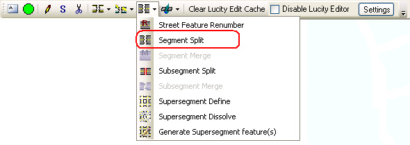
![]() The Street Split tool will split a street segment in both the geodatabase and in Lucity. This tool must be used instead of the ESRI split tool
The Street Split tool will split a street segment in both the geodatabase and in Lucity. This tool must be used instead of the ESRI split tool
Note: This tool is only enabled if all of the following conditions are met: (1) One feature is selected in the map (2) The feature selected is linear.
How To
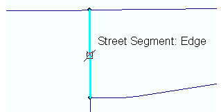
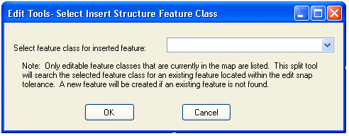
Split a street segment in the map:


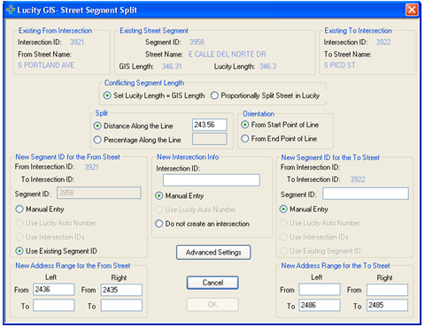
Existing From Intersection: This is read-only information. It lists the intersection number and from street name as it is listed in Lucity for the existing street. Existing Street Segment: This is read-only information for the existing street segment. Existing To Point: This is read-only information. It lists the intersection number and to street name as it is listed in Lucity for the existing street. Conflicting Pipe length: This option is only enabled when length of the pipe in Lucity is different than the length of the pipe in GIS. If this option is enabled users can choose to set the Lucity length equal to the GIS length or can proportionally split the street in Lucity to match the split in GIS. Split (Required): This is the calculated distance along the line where the mouse-click occurred. This value can be overwritten.Orientation: This indicates in what direction the split location is measured from.New Segment ID for the From Street (Required): The new street segment must be assigned a segment ID. Users have the option to manually enter the ID, use a Lucity auto number (this is only enabled if an auto number is set up), use intersection IDs (this is only enabled if users have an intersection defined), or use the existing segment’s ID. Note: By default, the longer street section is assigned the existing segment’s ID, but again this can be overwritten.Intersection Info: If an existing intersection was found at the location of the mouse-click this section will be filled out automatically with the existing intersection info and will be read-only. If there aren't any editable intersection feature classes configured with Lucity in the map, this section will be disabled and the ‘Do not create an intersection’ will be checked. Otherwise, users have the option to manually enter the intersection ID, use a Lucity auto number (this is only enabled if an auto number is set up), or not create an intersection feature.New Segment ID for the To Street (Required)- ): The new street segment must be assigned a segment ID. Users have the option to manually enter the ID, use a Lucity auto number (this is only enabled if an auto number is set up), use intersection IDs (this is only enabled if an intersection is defined), or use the existing segment’s ID. Note: By default, the longer street section is assigned the existing segment’s ID, but again this can be overwritten.New Address Range for the From Street (Optional): This is the address info for the new from street segment. Note: The left and right from address values will be pre-populated with the values from the pre-split street.New Address Range for the To Street (Optional): This is the address info for the new to street segment. Note: The left and right to address values will be pre-populated with the values from the pre-split street.Advanced Settings: This allows users to override the default settings that control what associations should be updated with the use of this tool. 