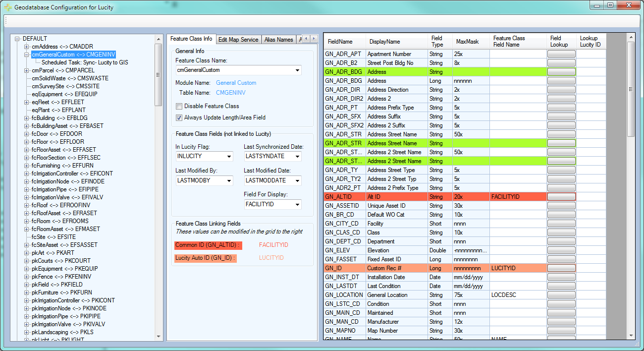
Feature Class Configuration

The second layer of geodatabase configuration is linking individual feature classes within the geodatabase to Lucity modules. The third layer is to link fields within the Lucity module to fields within the feature class.

To access a feature classes' configuration expand the appropriate geodatabase connection and then click on the desired feature class. The screen will expand to show all of the feature class configuration.

fcconfig

In This Section

Add/Associating Feature Class Configurations

Delete/Disassociating a Feature Class Configuration

Feature Class Information Tab

Edit Map Service Tab

Alias Names Tab

Parent Record Linking Tab

Logical Network Tab

Associated Workspaces Tab

Feature Class Fields Grid

See Also

Geodatabase Configuration tool

Navigation and Tools

Geodatabase Configuration

Spatial Relationships

Number Generators

Scheduled Tasks