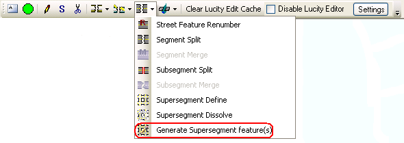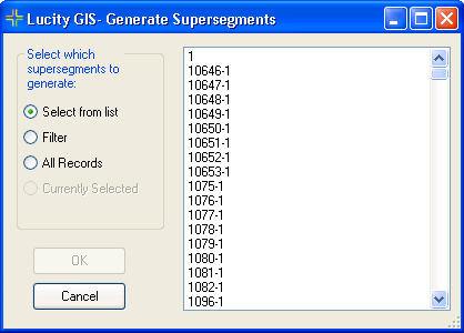


The Lucity GIS Edit tools include a tool used to recreating supersegment features in GIS based upon the supersegments that are set up in the desktop.
Note: This tool is always active; however for it to work the supersegment, segment, and subsegment feature classes need to be setup and linked to Lucity.
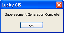
How To Generate a supersegment in the map


Note: This option may take some time to process as it is basically deleting and recreating the supersegment feature in GIS for each supersegment in the desktop.
