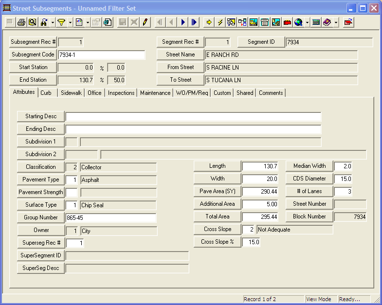
The Pavement modules have several modules to inventory pavement-related assets. The first of these is the Subsegment module. This module is related to the Street Segment Network module. Subsegment records are basically a way to break a street segment down into smaller portions of pavement based on changes in attribute. While the models are run using the supersegments, all inspections and maintenance actions are recorded on the subsegment level.
Subsegment Creation
Each time a street segment is added to the Segment Network, a subsegment record is created here. Each segment can have multiple subsegments, but all of its subsegments together must add up to the segments total length. Subsegments cannot be added or deleted in this module. Instead, to manipulate the number and length of subsegments go to the Sub/Field tab of the Segment Network module, or use the Lucity GIS Editing tools in ArcMap.
Example: For instance Oak street may be a mile long. The first 1/4 mile is 4 lanes while the last 3/4's are only 2 lanes. The first 3/4 of a mile are all asphalt, while the last 1/4 is concrete. This single street segment has three subsegments. Subsegment 1 is a 1/4 mile, 4 lane, asphalt road. Subsegment 2 is a 1/2 mile, 2 lane, asphalt road. The last 1/4 mile is a 2 lane concrete road.
Module Toolbar
![]()
More information about the tools available in this module
Note: To view an explanation of any field, Ctrl + right click in that field.
|
To access the Subsegments module, select Transportation > Pavement > Subsegments and the following window will appear.