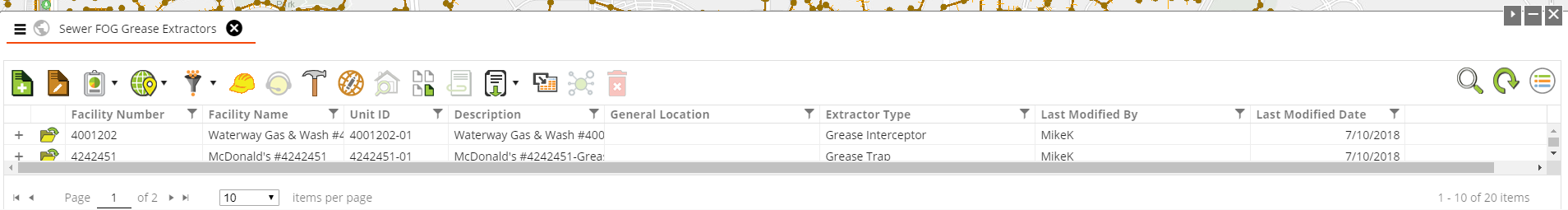
The Data Grid has the ability to display a view of Lucity module data within the map. This data is pulled from the Lucity database, rather than the geodatabase. Module View is fully functional; that is, the grid features Lucity tools, and users may interact with it as they would a Lucity module.
When the view is launched it is filtered to only display the records that were selected in the map.
View and Map Sync
When using the Lucity Module view in the Lucity Web Map there are 3 different ways that the view interacts with the map. The icons for these tools appear on the tab for the module view.
|
Default |
The view displays the records that were selected when the view was open. Clicking on records in the view does not modify the map selection. |
|
Selection |
The view displays the records that were selected when the view was open. Clicking on records in the view changes the selection in the map. |
|
Zoom To |
The view displays the records that were selected when the view was open. Clicking on records in the view changes the selection in the map and zooms to the selected records. |
