Water
|
Trace Type
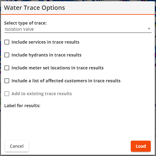
- Isolation Valve - Traces Water Pipes outward from the location the user clicked on and finds the closest Water Isolation Valves.
|
Required Fields
- Hydrants Inventory
- Service Taps
- System and Control Valve Inventory
- Pipe Number
- Isolation Valve (True or False)
- Water Pipe Records
- From End Type, From End
- To End Type, To End
- Water Meter Locations
|
Sewer
|
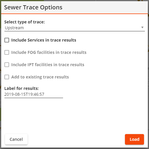
Trace Type
- Upstream – Traces all Pipes upstream of a selected point.
- Upstream Distance – Traces all Pipes within a designated distance upstream of a selected point.
- Upstream Segment - Traces all Pipes within a designated number of segments upstream of a selected point.
- Downstream - Traces all Pipes downstream of a selected point.
- Downstream Distance – Traces all Pipes within a designated distance downstream of a selected point.
- Downstream Segment - Traces all Pipes within a designated number of segments downstream of a selected point.
|
Required Fields
|
Storm
|
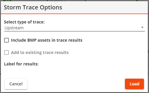
Trace Type
- Upstream – Traces all Pipes upstream of a selected point.
- Upstream Distance – Traces all Pipes within a designated distance upstream of a selected point.
- Upstream Segment - Traces all Pipes within a designated number of segments upstream of a selected point.
- Downstream - Traces all Pipes downstream of a selected point.
- Downstream Distance – Traces all Pipes within a designated distance downstream of a selected point.
- Downstream Segment - Traces all Pipes within a designated number of segments downstream of a selected point.
|
Required Fields
|

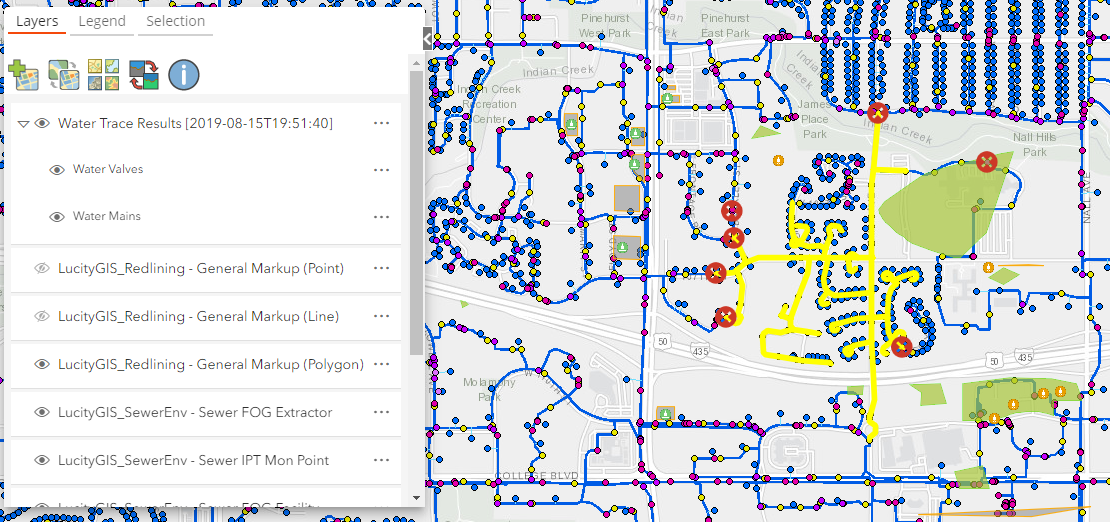
 How To Run a Water Isolation Trace
 button.