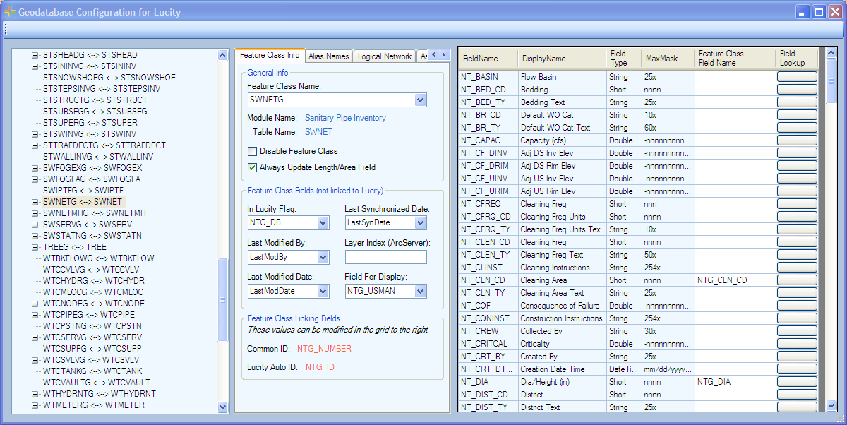
After a connection string is setup to connect Lucity to a geodatabase configuration needs to be that will tell Lucity which feature classes and feature class fields it should connect to in that geodatabase. This is done using the geodatabase configuration tool found in ArcCatalog. This tool allows administrators to control which feature classes lucity is configured with, and provides tools for maintaining and updating feature classes and domains to help keep Lucity and the geodatabase in sync.
To learn more about the Lucity Geodatabase Configuration tool and Geodatabase configuration, click here.