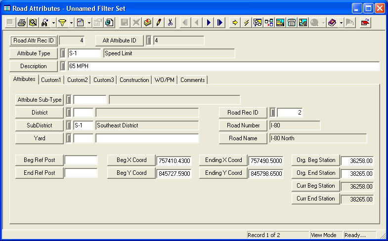
This module allows you to track user-defined Road Attributes along a length of Roadway, and identify their locations using linear reference points. For additional information on defining Roads, consult the help guide. Attributes can include any variety of roadway features, such as speed limit designations, pavement markings, curbs, guard rails, etc.
For more information about the tools available in this module go here.
Note: Users can view any field definition by right clicking + Ctrl in that field.
To access the Road Attributes module, select Transportation > Road > Road Attributes and the following window will appear.
