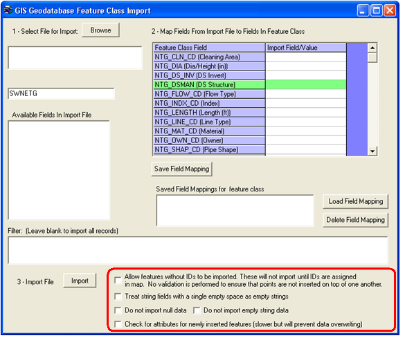
Several Options are available when using the data loader. These are found at the bottom of the data loader screen.

Sewer pipes and storm pipes have the Upstream and Downstream Structures defined as green fields for the import. If you do not have the Upstream and Downstream Structures available in your feature class, you can import these features without IDs (must check the box), and then use a special tool called Update Spatial Relationships provided with the Lucity GIS Edit Tools to populate these values. Select all of the imported pipes with this tool and the Upstream and Downstream structures will be populated. When the update is finished, save your edits and end your edit session; the features will be synchronized with Lucity.
Please Note: If you are importing a shapefile you should ALSO check the "Treat single empty space as empty string" option or the "Do Not Import Empty String Data" will not work for you.