![]() The Subsegment Merge tool, which is located on the Lucity GIS Edit toolbar, enables users to combine subsegment features in the geodatabase and in Lucity.
The Subsegment Merge tool, which is located on the Lucity GIS Edit toolbar, enables users to combine subsegment features in the geodatabase and in Lucity.
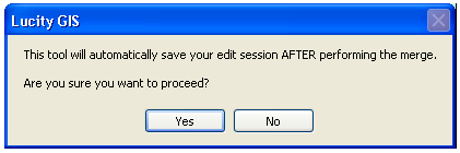
This tool is enabled only when: 1) two features are selected in the map; 2) both are linear; and 3) they are snapped together at one end.
How To Merge Two Subsegments in the Map
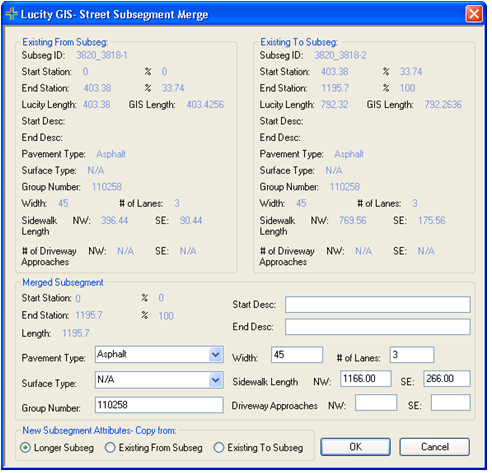
The fields in the Merged Subsegment section display the attributes of the new Subsegment, which are based upon the existing Subsegments' data. The user can overwrite these fields.
[(Old Sidewalk Length 1+ Old Sidewalk Length 2)/(Old Subsegment Length 1 + Old Subsegment Length 2)] x New Subsegment Length]
Note: This option is automatically set/disabled if the new Street Segment ID is the same as the previous To or From Street Segment ID.

|
In This Section |