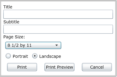
The print tool allows users to print their current map view.
After clicking print users can:
See Also
Analysis Tools
Identify Features
Selection
Find
Subset Manager
Water Trace
Create Work Point
Show Work Order/Request Location
Work Order Routing