Lucity requires a geometry service to perform geospatial calculations when rendering the Lucity Web Map. This service handles dealing with services with different spatial references among other things.
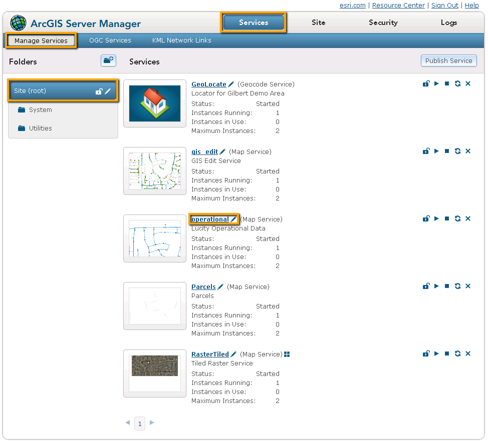
If collecting information for the map service that contains your operational data, click on the REST URL. A page containing the properties of the map service appears.
Scroll down and copy down theSpatial ReferenceNumber. (Do this only for the layer that contains Lucity data.)
 For Arc 10.x