The Lucity Web Map can locate and identify addresses using a geocoding service. An agency may use its own geocoding service or one provided by ESRI.
The Geocoding service used by the various applications is different depending on how your system is setup
Integrated with Portal for ArcGIS
If you are integrated with Portal for ArcGIS the webmap will automatically use the Geocoding service listed in Portal as the default geocoding service.
Not Integrated with Portal for ArcGIS
If you are not integrated with Portal for ArcGIS the webmap will use the default geocoding service listed in Lucity.
How To Configure Lucity To Use a Geocoding Service
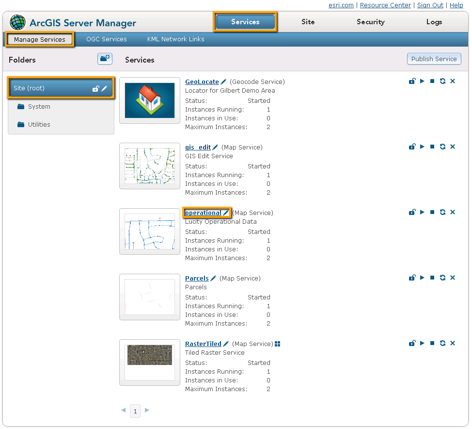
If collecting information for the map service that contains your operational data, click on the REST URL. A page containing the properties of the map service appears.
Scroll down and copy down theSpatial ReferenceNumber. (Do this only for the layer that contains Lucity data.)
 For Arc 10.x