![]()
The Print tool allows users to configure and export the current map view into a printable file format of their choosing.
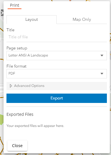
Layout |
|
Exports a view of the map with additional information such as the date, scale, legend, etc. |
|
Title |
Summarizes the content shown in the map. |
Page setup |
Indicates the preferred page format. ex: landscape, portrait, etc. |
File format |
Indicates the type of file that the system should create. ex: PDF, PNG, etc. |
Advanced Options |
Enables the user to configure and choose whether to display the map scale, author, copyright, and legend. |
Map Only |
|
Exports a view of the map. |
|
File Name |
Provides a name for the exported file. |
File Format |
Indicates the type of file that the system should create. ex: PDF, PNG, etc. |
Width |
Sets the map's width. |
Height |
Sets the map's height. |
Include attribution |
Directs the system to display information about the basemap's source. |
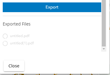
Export |
Exports the map based on the settings selected above. |
 How to Print a Map
 button. The print dialog appears: