Once feature class aliases are established and imported into the geodatabase configuration, an agency must publish the maps it wishes to use. The Lucity/CS EAM Web Map, Lucity Mobile and CS EAM Mobile support both .mxd, and .msp map services. After the services are published, an administrator must configure Lucity/CS EAM to use the services.
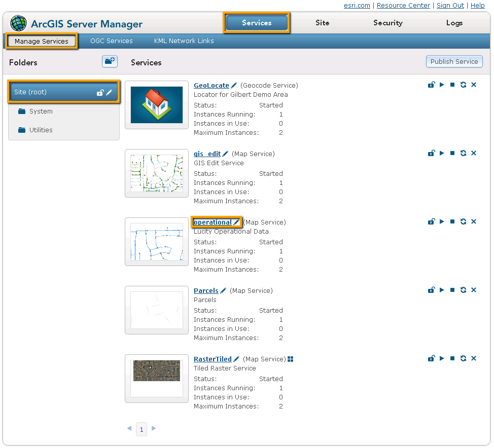
If collecting information for the map service that contains your operational data, click on the REST URL. A page containing the properties of the map service appears.
Scroll down and copy down theSpatial ReferenceNumber. (Do this only for the layer that contains Lucity data.)
If the map services are secured, go to GIS > Authentication Setup.
Add the required Username/Login combinations.
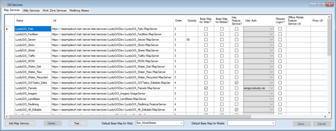
Navigate to GIS > GIS Services.
On the Map Services tab, click Add Map Service...
Enter the Name of the map service. This name is used to identify the service when it is added to a Lucity/CS EAM map or viewed in one of the Lucity/CS EAM mobile products.
In the URL field, enter the REST URL for the map service.
In the Order field, enter a value to indicate the order in which the service should appear in relation to other layers. (Map services are layered based on this field. A lower number represents a lower layer. Zero is the bottom layer.)
Check the Base Map for Web? box if this layer is used as a basemap.
More information about configuring basemaps
If the service is secured, use the User Auth drop-down box to select one of the authentications you created in step 3.
Complete other fields as desired.
Click Save.
Click Test if the map service contains Lucity features. The system displays a list of all feature classes that the map recognizes as being connected to Lucity.
After steps 1 - 4 have been completed for all map services, go to Lucity/CS EAM Web, and navigate toAdmin Portal > Settings > System Settings > GIS Web section.
In the Operational Data Spatial Reference WKID field, enter the Spatial Reference number. [This topic was covered in step 1.g.]
The WKID that is used here must be the the WKID that the operational data is referenced against. Lucity/CS EAM uses this spatial reference to record x-y coordinates and any other spatial data.
 For Arc 10.x