The Location tab is designed to store general and specific information about the location of the main break. At the top of the tab there is a Field Ties grid, which allows users to store specific instructions and measurements about the exact location of the node. This is especially useful for locating underground assets. Finally, there are several more fields at the bottom of the tab that store GIS/GPS information.
Field |
Special Function |
GIS SubType |
This field is automatically filled out if the module is linked to a GIS feature class and the GIS subtypes are setup in the geodatabase. |
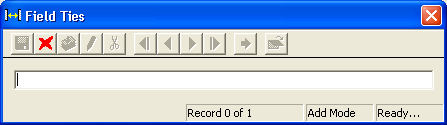
Field Ties grid
This grid allows users to enter specific information, or steps, to help people find the location of the asset in the future.
A sample of the grid appears below.
![]()
How To Create a Field Tie record