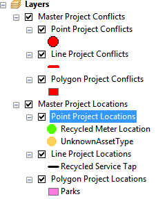
The View Master Project Locations tool allows users to view Master Project locations in ArcMap, with the option to view project conflicts. The tool can plot any Master Project that has an Address, an X/Y coordinate, or Assets assigned to it.
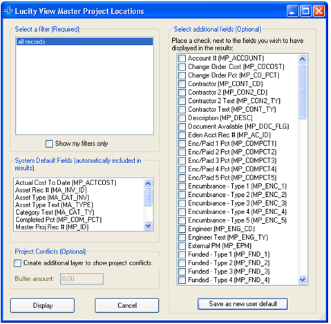
Select a Filter |
Lists saved filters from the Master Projects module. |
Show my filters only |
Narrows the list of filters to display only those created by the current user. |
System Default Fields |
Lists fields from the Master Projects module that are automatically included in the temporary feature class created by this tool. These fields represent columns in the Attribute table. |
Select Additional Fields |
Enables the user to select additional fields from the Master Projects module to appear in the tool's results. |
Save as new user default |
Saves the user's selections in the Select Additional Fields section as their default selections when using this tool. |
Project Conflicts - Create additional layer to show project conflicts |
When enabled, creates several map layers to pinpoint where overlaps exists between work associated to one or more Master Projects. Enter a Buffer Amount to direct the tool to identify work that is close together, rather than identical. For example, one or more Master Projects might include work on traffic lights, sidewalks, and the road. Normally, the tool wouldn't see those as conflicts because they are all separate features that are in different locations, even though they are in close proximity. By adding a buffer, the tool may identify such work as conflicts, allowing project managers to focus their efforts on how the work is scheduled in that location. |
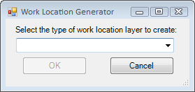
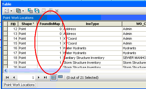
 How to plot Master Project locations