The NPDES tab allows users to enter NPDES (National Pollutant Discharge Elimination System) permit information. Indicate whether this is a permitted site and whether this site is used for monitoring or sampling. In addition, indicate the collection date, who performed the collection, and set a date for the next monitoring or sampling. This tab also contains some fields for GIS location information like X and Y coordinates.
Below the first set of fields there is a set of fields specifically for Inlet Information.
Capacity |
Capacity refers to the maximum amount of flow the inlets are capable of holding (in cubic feet per second). |
Inlet Area |
The opening area of the structure (sum of inlet areas). |
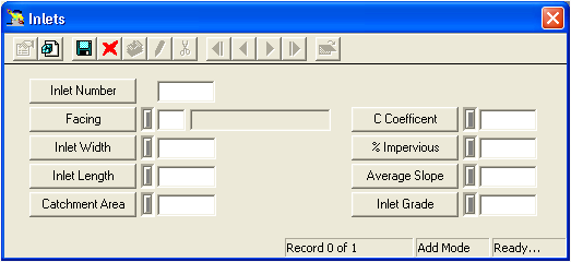
% Impervious |
The percentage of area upstream of the structure that is impervious. |
Inlet Grid
Below the Inlet Information fields is a grid that stores information about inlets associated with the structure. This grid can also be seen in the Structure Inspections module.
A sample of the grid appears below. Sort records in the grid by clicking on the headings. An up or down arrow (highlighted in orange below) will appear signifying ascending or descending order.
![]()
How To Add an Inlet