The Location tab stores general and specific information about the location of the control valve. There are a few fields at the top of the tab to store general location information. Below those fields is the Field Ties grid, which enables users to store specific instructions and measurements for the exact location of the valve. The grid is especially useful for locating underground assets. Finally, there are several more fields at the bottom of the tab that store GIS/GPS information.
Field |
Special Function |
GIS SubType |
This field is automatically completed if the module is linked to a GIS feature class and the GIS subtypes are set up in the geodatabase. |
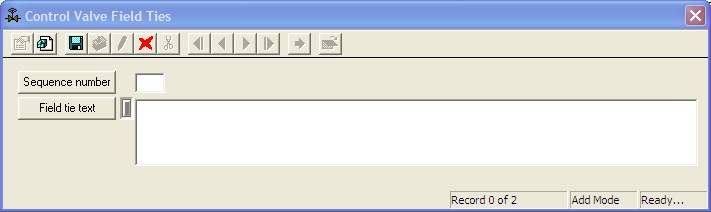
Field Ties Grid
The Field Ties grid allows users to enter specific information or steps to help people locate the asset in the future.
A sample of the grid appears below. Sort records in the grid by clicking on the headings. An up or down arrow (highlighted in orange below) indicates whether data appear in ascending or descending order.
![]()
How To Create a Field Tie record